Fieldwork Kit
Discover a diverse selection of kit and equipment tailored for researchers working in various fieldwork environments. For the full list of available field kit, please contact laboratory staff.
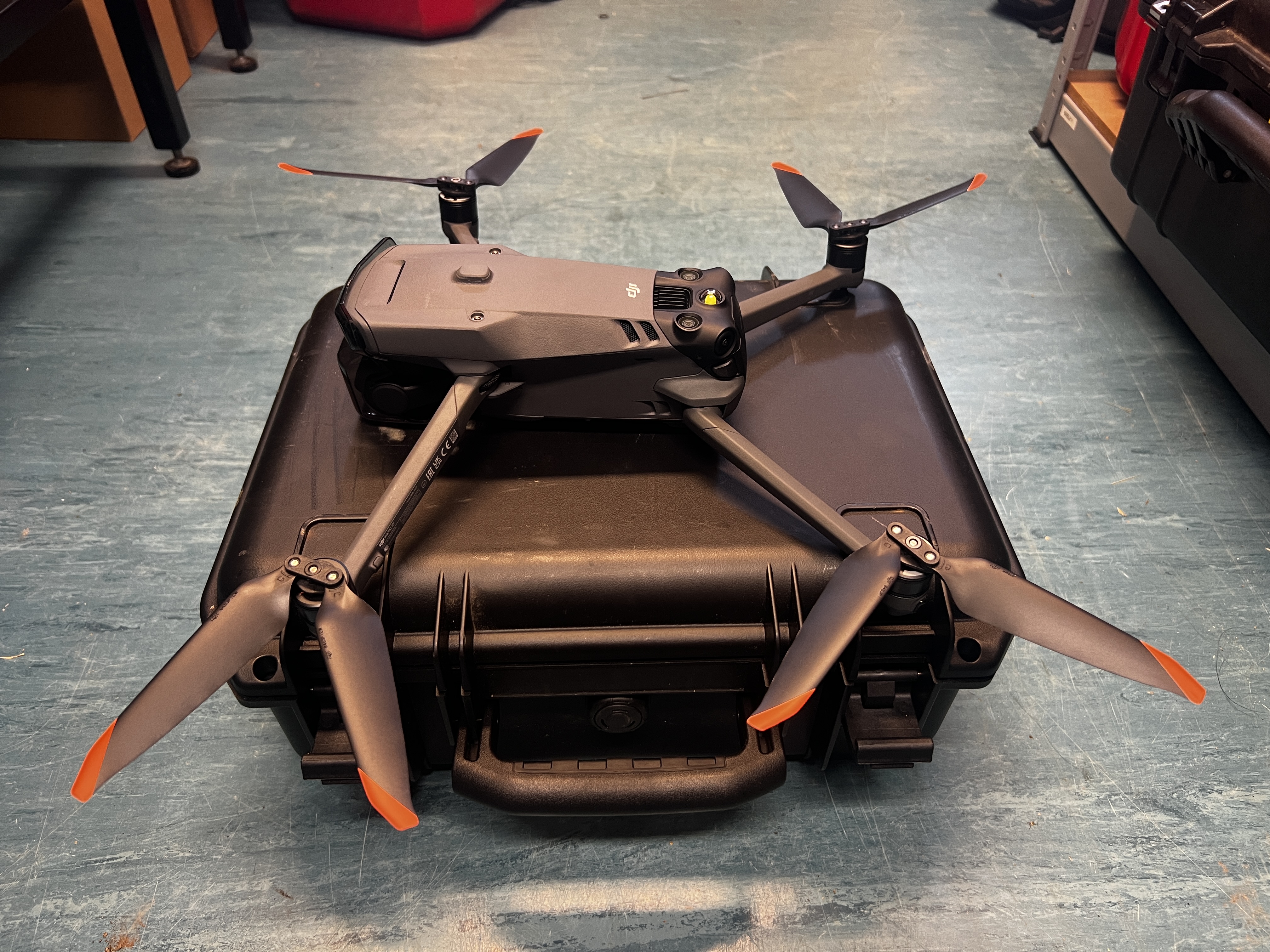
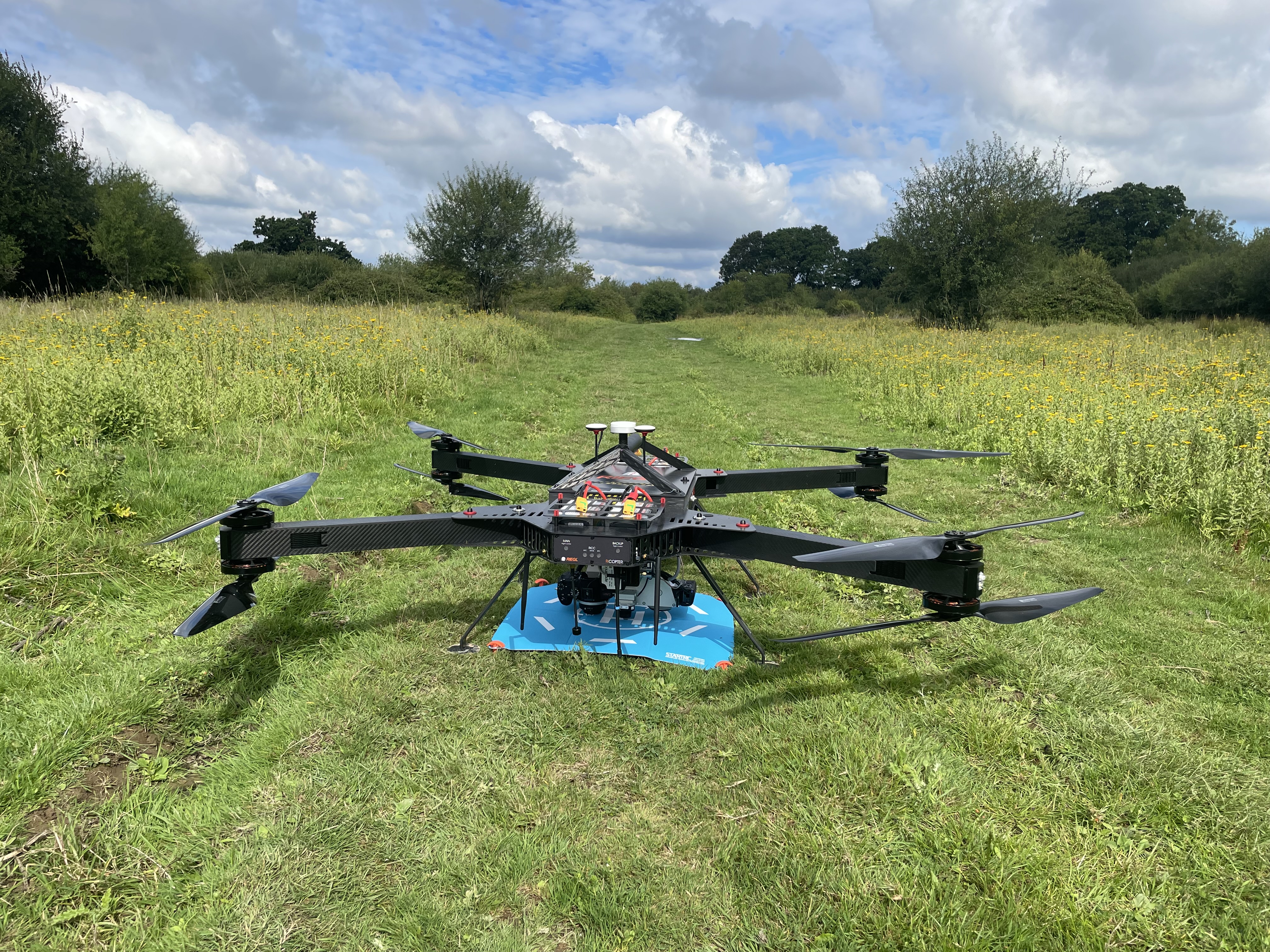
Drones - small and medium (DJI Mavic 3T and 3M), and large (Riegl)
The Geography labs have a variety of drones available for use in fieldwork and equipped with different surveying sensors, such as Lidar. The drones are frequently used to collect photo, video, and topographical data from survey sites.
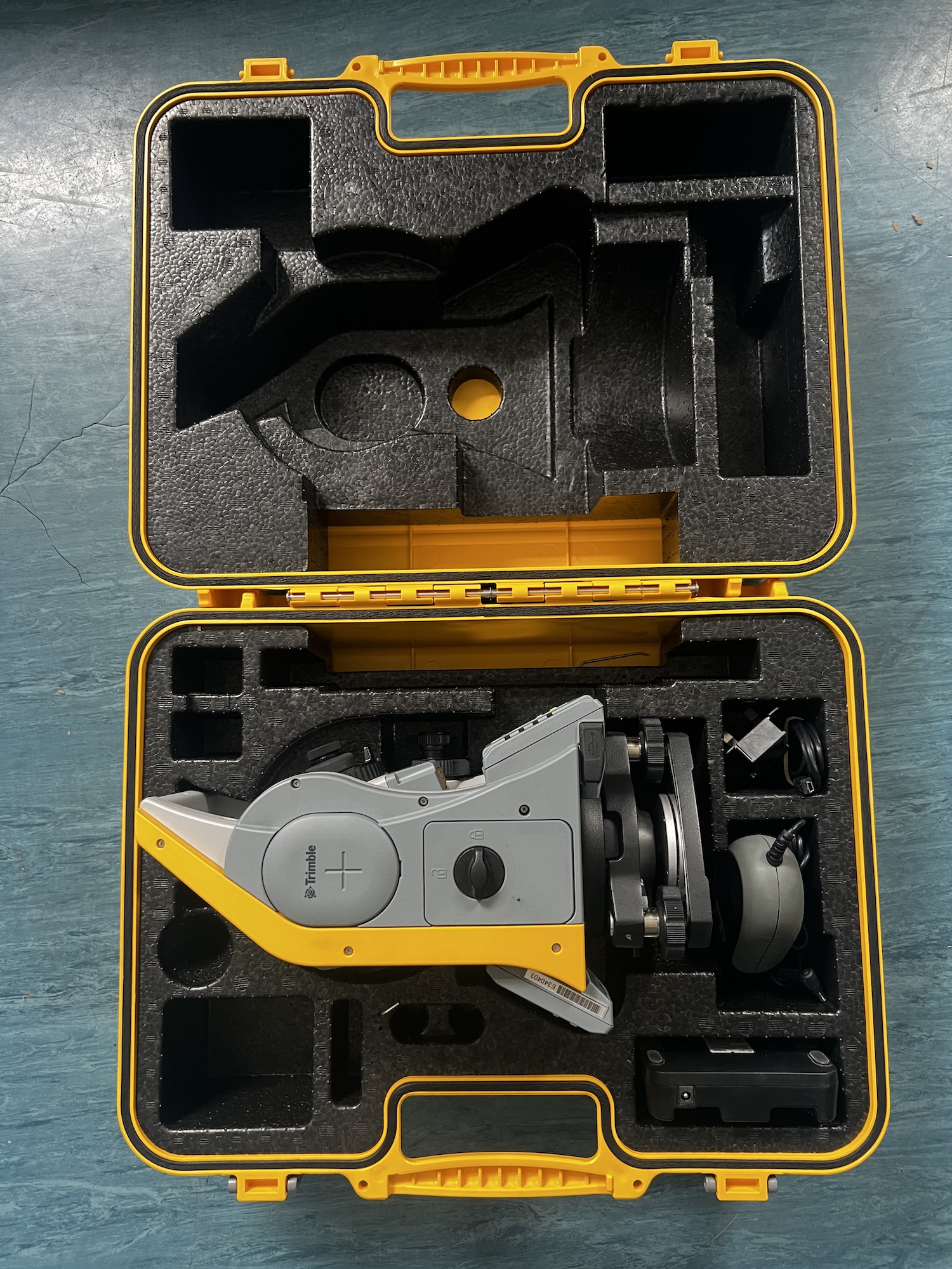
Korec Trimble C SeriesTotal Stations
Total stations are often used in land surveys to measure distances, angles, and elevations on site. The labs have 8 total stations for use in teaching and fieldwork.
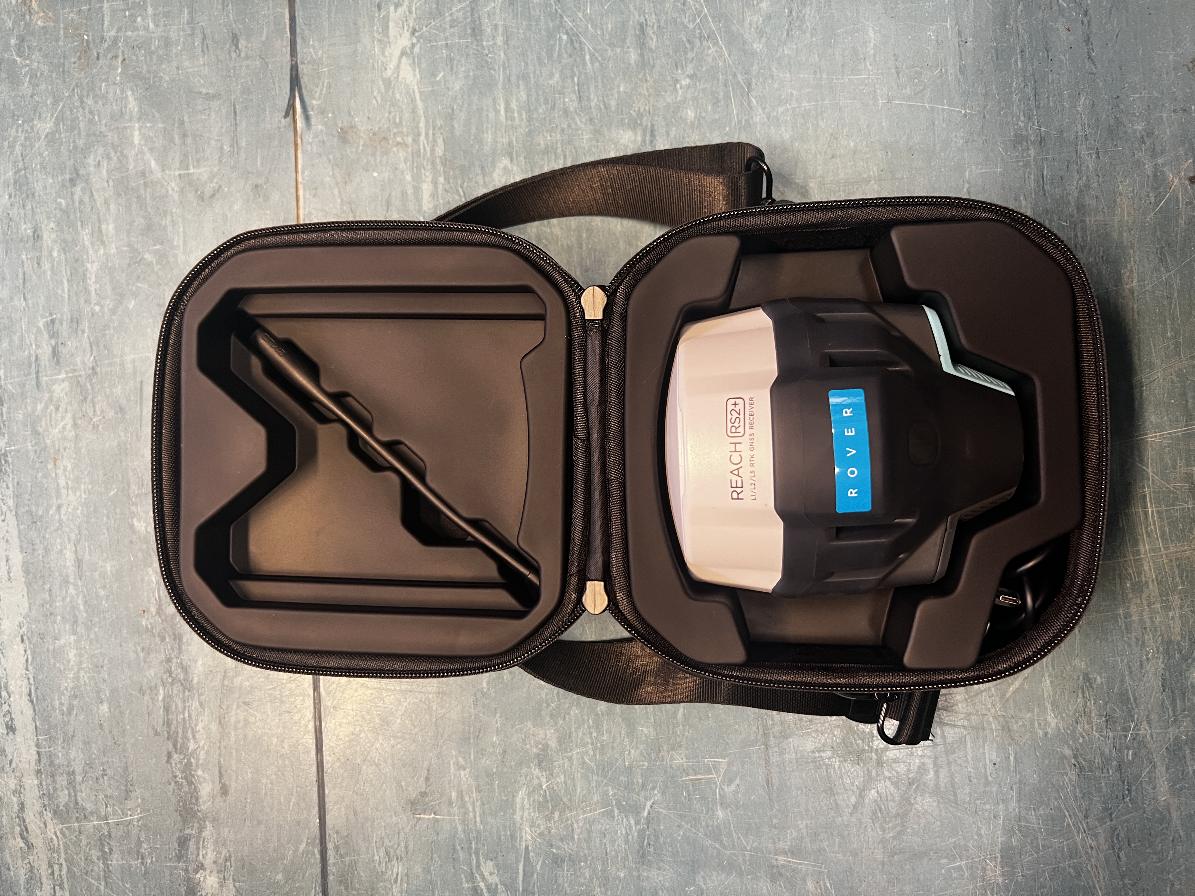
Emlid Reach RS2+ DGPS
A DGPS works in much the same way as a regular GPS, but improves accuracy by receiving corrections from a nearby fixed station, reducing errors caused by atmospheric interference and satellite clock discrepancies. The labs have several DGPS units available for use in field surveys.
Riegl VZ-2000i TLS
Terrestrial Laser Scanners (TLS) are generally used in landscape surveys, allowing users to generate a high-resolution mapping of terrain, vegetation, and other landscape features over limited distances in the range of 50–300 m. The labs’ TLS is available for fieldwork and consultancy purposes.
.JPG)